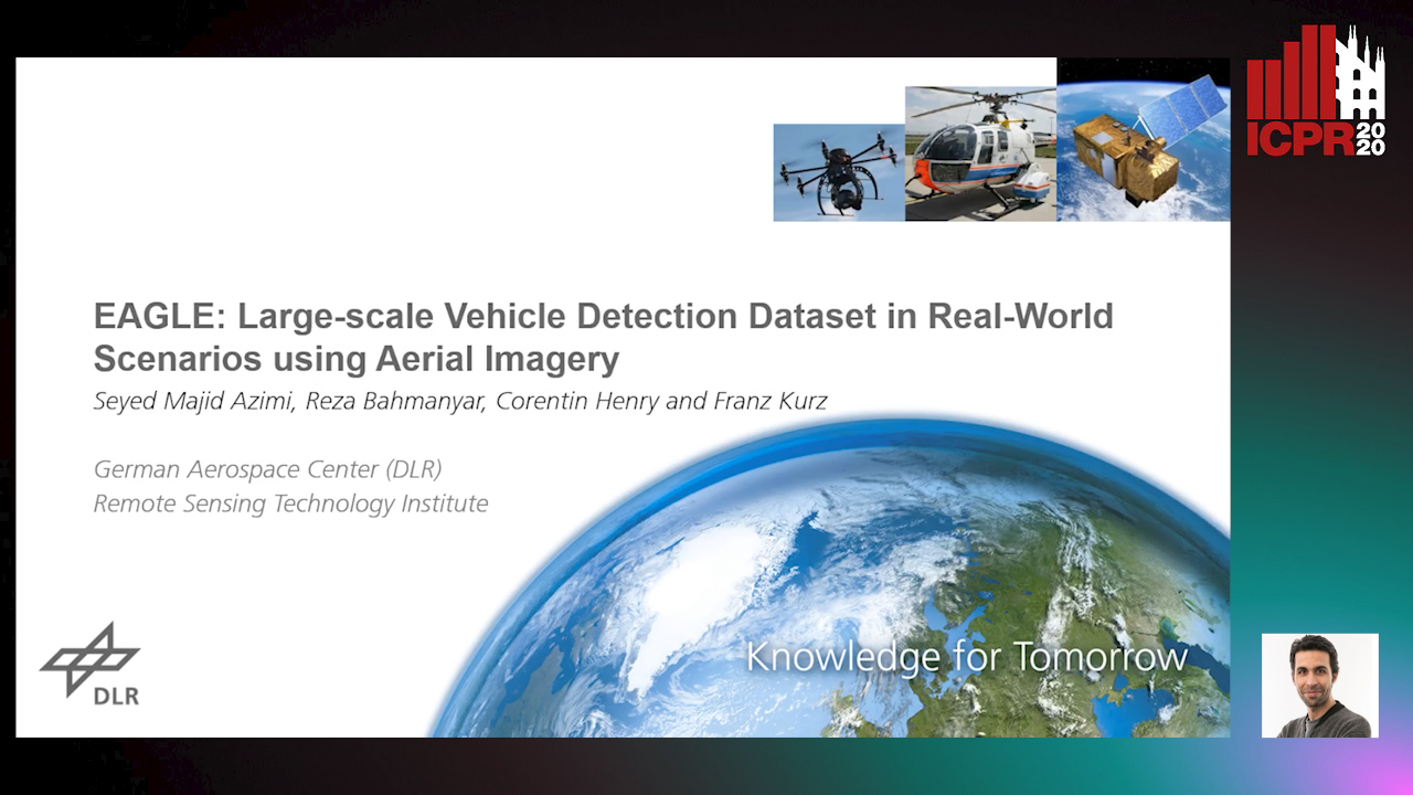
Multi-class vehicle detection from airborne imagery with orientation estimation is an important task in the near and remote vision domains with applications in traffic monitoring and disaster management. In the last decade, we have witnessed significant progress in object detection in ground imagery, but it is still in its infancy in airborne imagery, mostly due to the scarcity of diverse and large-scale datasets. Despite being a useful tool for different applications, current airborne datasets only partially reflect the challenges of real-world scenarios. To address this issue, we introduce EAGLE (oriEnted object detection using Aerial imaGery in real-worLd scEnarios), a large-scale dataset for multi-class vehicle detection with object orientation information in aerial imagery. It features high-resolution aerial images composed of different real-world situations with a wide variety of camera sensor, resolution, flight altitude, weather, illumination, haze, shadow, time, city, country, occlusion, and camera angle. The annotation was done by airborne imagery experts with small- and large-vehicle classes. EAGLE contains 215,986 instances annotated with oriented bounding boxes defined by four points and orientation, making it by far the largest dataset to date in this task. It also supports researches on the haze and shadow removal as well as super-resolution and in-painting applications. We define three tasks: detection by (1) horizontal bounding boxes, (2) rotated bounding boxes, and (3) oriented bounding boxes. We carried out several experiments to evaluate several state-of-the-art methods in object detection on our dataset to form a baseline. Experiments show that the EAGLE dataset accurately reflects real-world situations and correspondingly challenging applications. The dataset will be made publicly available.

